

June 15, 2014


June 14, 2014


May 11, 2014


Maps of the Same Place
The methods are:
-Layered Plan
-Layered Section
-Continuous Mesh Form
-Aggregate Mesh Form
-Mapping Actions


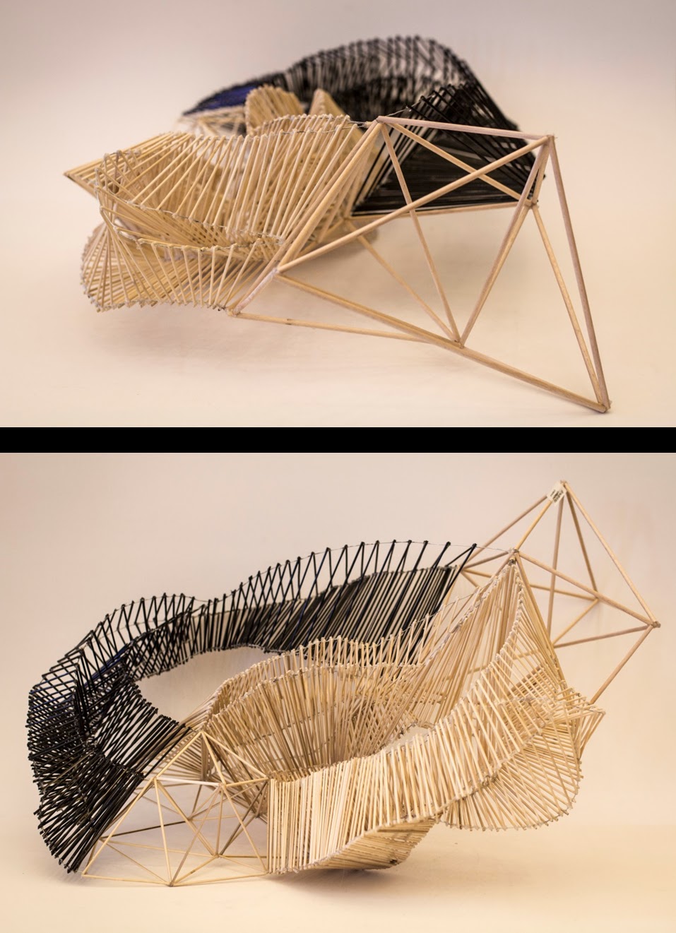
Fabricating Landscape
This
exercise starts with the exploration of geological structures and the physical
forces that shape them for the study of the concepts of field and aggregation. These studies will then be utilized to form the
assembly of an abstract landscape to be shaped by a spatial agenda.


Event Structures
Students are expected to design a structure that both
facilitates and organizes at least three parkour motions that they select.
The structure should transfer its loads to vertical surfaces.
While designing the structure, students are expected both to
consider the human scale, body proportions, as well as the structural scale and
the motion oriented space, incorporating the principles that they’ve learnt
previously.


Subscribe to:
Posts (Atom)