Cappadocia is
a unique site, where the natural and man-made environments merge into each
other. Since now, students have studied spatial and tectonic formations in different
scales. Cappadocia excursion aims to provide a rich discussion on how to
critically observe, analyze and represent different aspects of a site. With
reference to the previous experiences, and to the earlier discussions on
mapping and analysis, students are going to analyze a small site in Cappadocia. As a
group students are expected to discuss and decide on which qualities of the site you
are going to study. They are suggested to consider important keywords such as movement,
variety of activities, human scale, enclosure, different types and hierarchies
of (open) spaces, materials, processes of land formation, top down
(subtractive) and bottom up (aggregated) structures, tectonics.
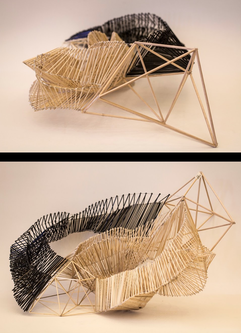
The methods are:
-Layered Plan
-Layered Section
-Continuous Mesh Form
-Aggregate Mesh Form
-Mapping Actions